Map Projections and Distortions
lesson
579 Downloads
Write a review
beta
EdBrAIn It
EdBrAIn uses AI to customize lesson resources for your students’ needs.

Map Projections and Distortions

Share

Share On Facebook
Share On Twitter
Share On Pinterest
Share On LinkedIn
Email
Grade Level Grades 9-12
Resource Type Lesson Plan, Presentation
License

About This Lesson

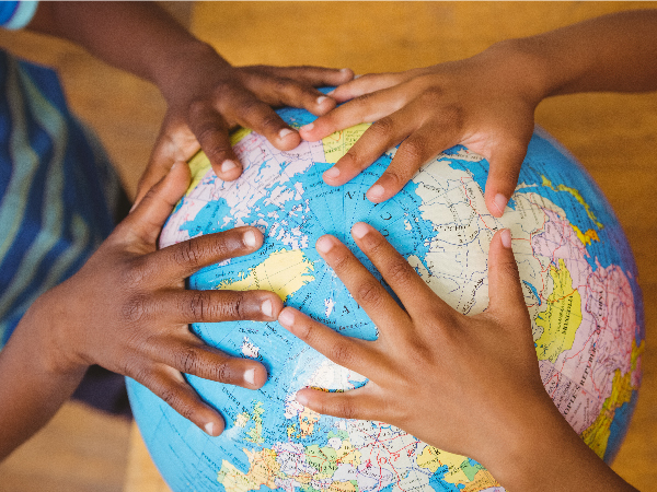
Students will understand that maps are not accurate depictions of the land and water surface on earth. Many scholars have attempted to create maps with the least amount of distortion or maps that are better suited for traveling using latitude and longitude. Each map that is created has some distortion, which results in a changing of the shape and size of land/continents. Students will understand the vocabulary word projection and the impact projections have on perception of the world around us by the completion of this lesson.

Resources

Files

beta
EdBrAIn uses AI to customize lesson resources for your students’ needs.

SML_Geo.docx

Lesson Plan
February 13, 2020
484.7 KB
beta
EdBrAIn uses AI to customize lesson resources for your students’ needs.

Projections.pptx

Presentation
February 10, 2020
10.7 MB

Reviews

Write A Review

Be the first to submit a review!

Advertisement